

 |
 |
 |
 |
|
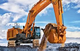
Construction Surveys
|
Cadastral Surveys & Town Planning
|
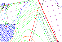
Topographic Surveys
|
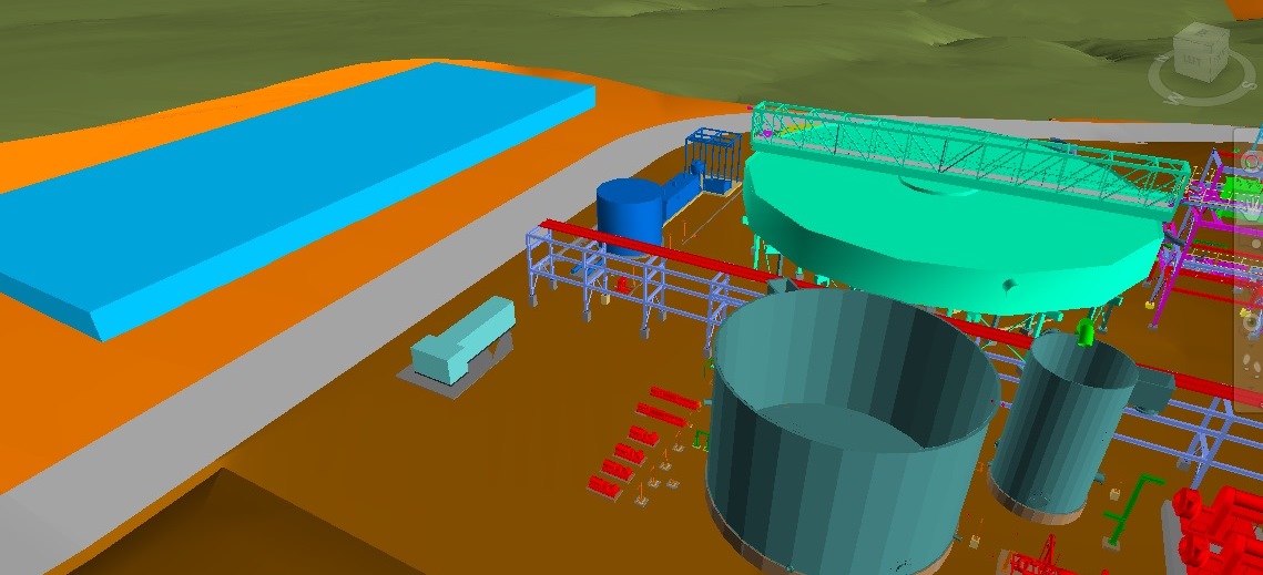
3D Laser Surveys
|
|
Site control establishment
Earthworks (Tailings dams, platforms, foundations, etc)
Roads and railway surveys
Concrete Civil works (Plinths, HD Bolts, formworks, etc)
Pipelines, conveyors and Canals
As-built surveys
|
New Township Layouts
Old Township surveys
Farm surveys
Consolidations
Beacon & Boundary Relocations
Various Subdivisions
Sectional Titles
Servitudes
Application of various Sub divisional & Zoning Consents.
|
Digital Terrain Modelling and contour mapping
Site control Establishment
Structural deformation monitoring
Detail Surveys (Fence lines, sewer networks, storm water etc)
|
High density 3D detail scanning
Aerial imaging
3D Orthophoto Maps
Digital Elevation Modelling (DEM)
|